The 2024 Summer Solstice happened on June 20. Looking at our local weather forecast next week, aren’t you discouraged from going out to hike in the burning heatwave? Remember we are so close to the Pacific coast! Great time to escape into the cool ocean breeze!
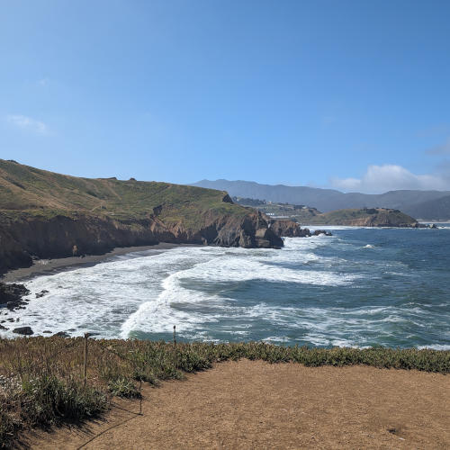

Last summer, we published “Summer Fun Hikes in Marin County” and recommended many beautiful coastal parks in the north bay, which takes more than one hour and half to reach from south bay. Two weeks ago, I enjoyed hiking with a friend at the Mori Point in San Mateo County. It takes about 40 minutes to get there from Cupertino on a Friday morning. The temperature there was about 60F while inlands reached 80+F that morning. Best of all, the views are breathtaking and the trails are filled with fun learning!
It’s amazing to know that the Mori Point is one of 37 Golden Gate National Parks that span 70 miles from the north to the south of the Golden Gate with 82,000 acres of land, 1,200 historic structures, 130 miles of trails, 19 ecosystems, and 7 watersheds. The Mori Point, named after an Italian immigrant who purchased 19 acres of farmland here in 1888, has a very interesting past. This special coastal park has been restored to its natural beauty, and it’s definitely worth your time to check it out this summer!
Before You Go
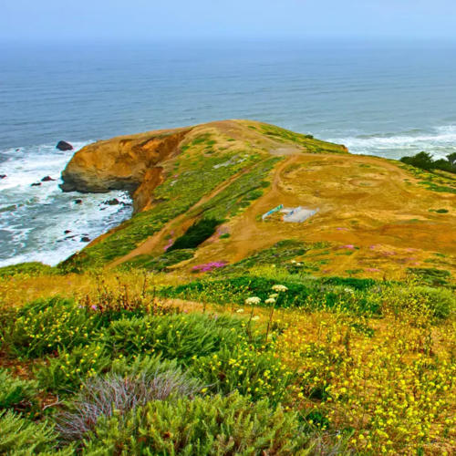
Originally, we planned to hike at Mori Point in April to catch its amazing wildflower superbloom (photo credit: National Parks), but the weather that day turned to foggy and windy, so we switched our destination to Santa Teresa County Park .
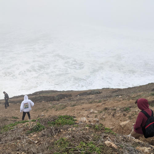
The coastal climate is unpredictable, and its fog and wind would hide all the beauty and cause more challenges on the way. This photo was taken during our family hike under such a foggy and windy condition at Rockaway Beach in Pacifica. All we could see were white waves.
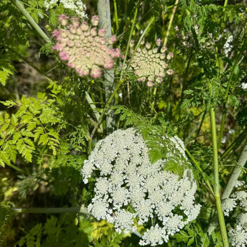
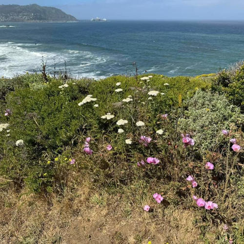
Finally in the middle of June, we hiked at Mori Point under a blue sky, seeing spectacular views of the ocean waves. Even though we missed the wildflower superbloom in spring, many flowers are still blooming in the grasslands. Be sure to put on sunscreen, wear a hat, a jacket, and good shoes.
Location & Access Info
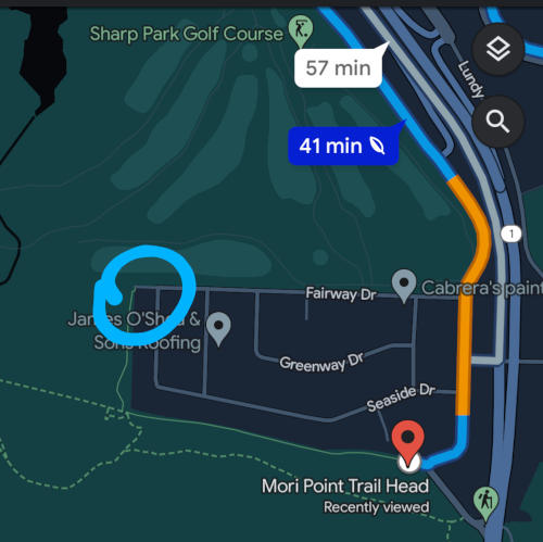
The GPS usually guides the visitors to a small parking area for 8 to 10 cars, near the Old Mori Road trailhead. Many thanks to my friend for sharing a different “insider’s tip” on where to park. Instead, we drove to a deadend at Fairway Drive, and parked along the street. To the left of the deadend, a hidden pathway leads to the main Mori Point trail.
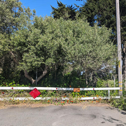
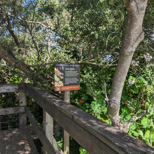
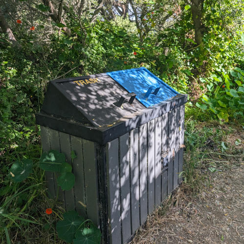
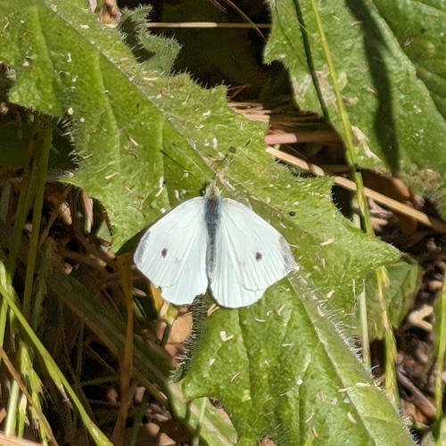
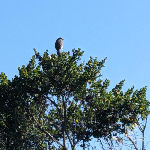
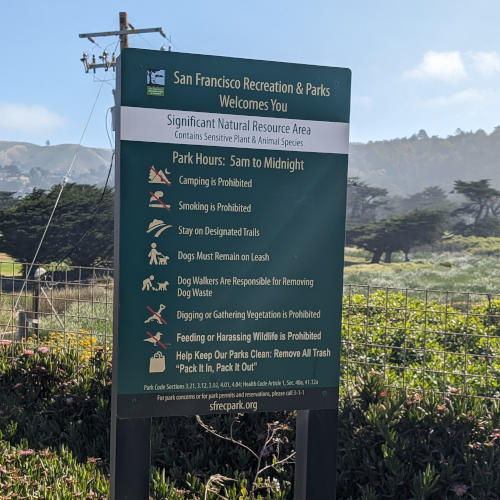
The path is quite narrow, but full of life! Butterflies, dragonflies, birds are everywhere. Trash cans sit at the entrance, and a small library stands at the intersection to the main trail, where this sign welcomes visitors and lists all the rules (Note, dogs must remain on leash.). To access the restroom, you will need to get back to the trailhead parking area.
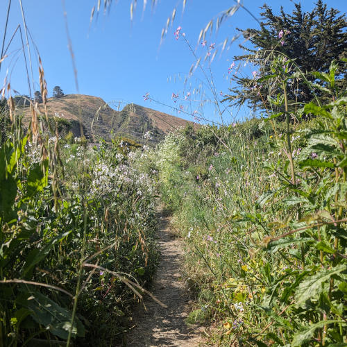

Our Mori Point Hike
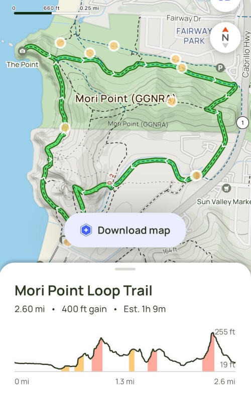
The Mori Point Loop Trail is the most popular route recommended by our friends and by AllTrails, an easy to use online tool for hikers. With its free version, you can access a high-level map, description, waypoints, facilities, conditions and tips. Recently, they also added an AI generated review summary: “Hikers recommend Mori Point Loop Trail in Pacifica for amazing ocean views and beautiful scenery. Some sections are steep, narrow, and rocky, so good traction shoes are necessary. Recent reviews mention steep, rocky, and narrow parts with some sections eroded, requiring attention to the trail map. Typically in June, the area is known for coastal views, wildflowers, and windy conditions.”
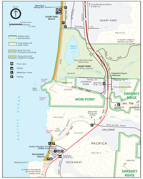
This map is posted at the website of Naiontal Park Services: “Mori Point is located in Pacifica just west of Highway 1, and directly south of Sharp Park Golf Course. Trailheads are found at the south end of Bradford Way and at the southwest corner of Sharp Park, near the south end of the levee protecting Sharp Park Golf Course.”
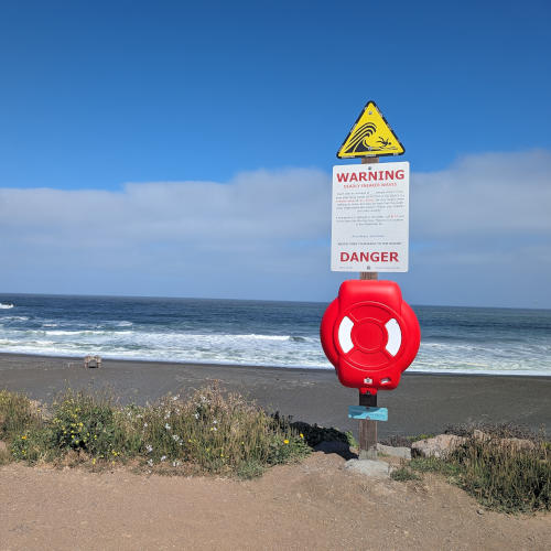
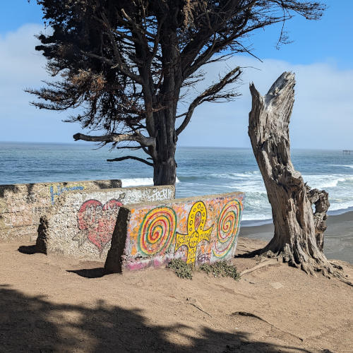
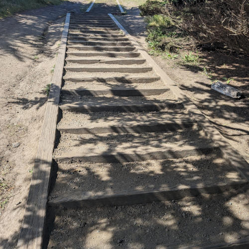
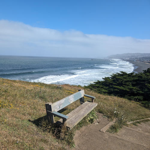
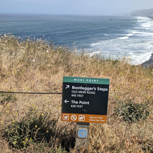
We walked from the hidden path to the main trail, continuing to the west on a boardwalk, which was built to protect this sensitive ecosystem. From the signages along the way, we learned about its history, nature and restoration projects. When we reached Sharp Park Beach, we noticed a big warning sign “Deadly Sneaker Waves” posted in front of this seemingly peaceful black sand beach. We decided to skip the beach walk this time and climb uphill to see the Mori Point Vista. After passing by a broken mining structure covered in graffiti and climbing to the top of “Bootlegger’s Steps”, we reached a bench with a great ocean view. Yay, only 620 feet away from “The Point”!
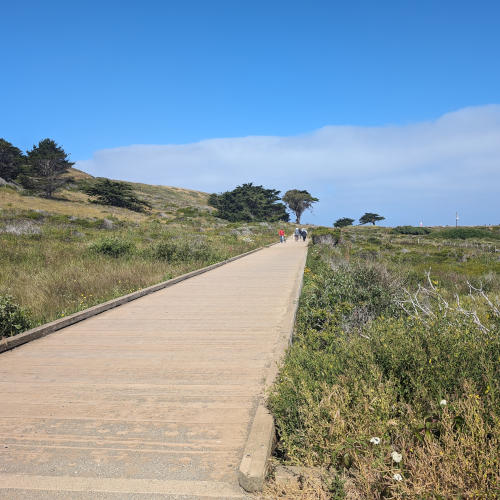
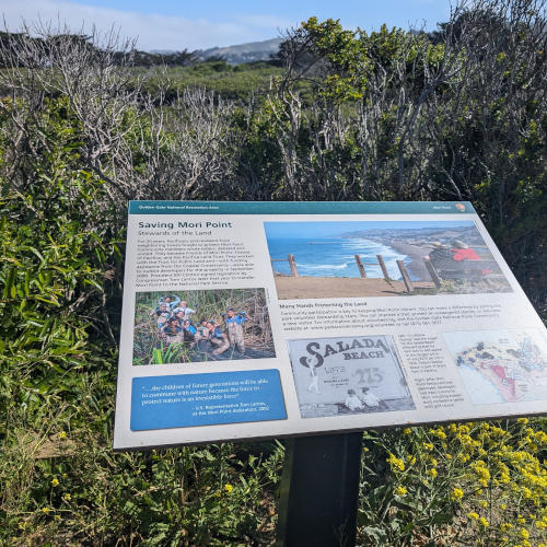
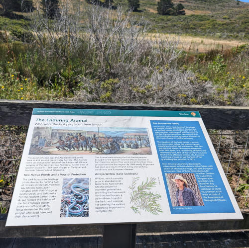
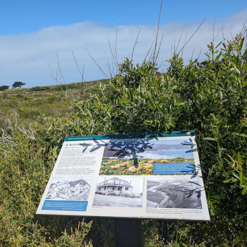
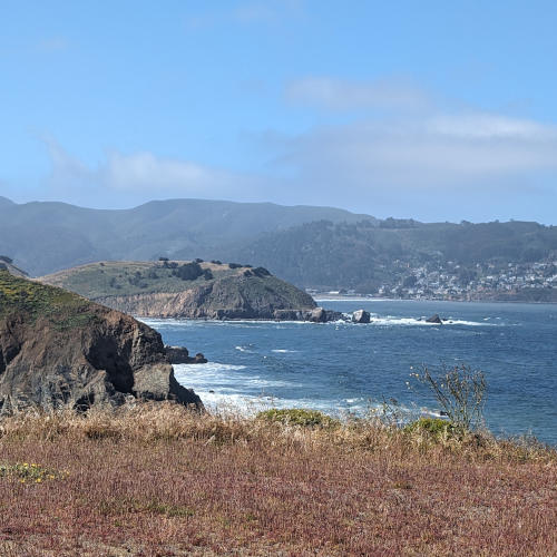
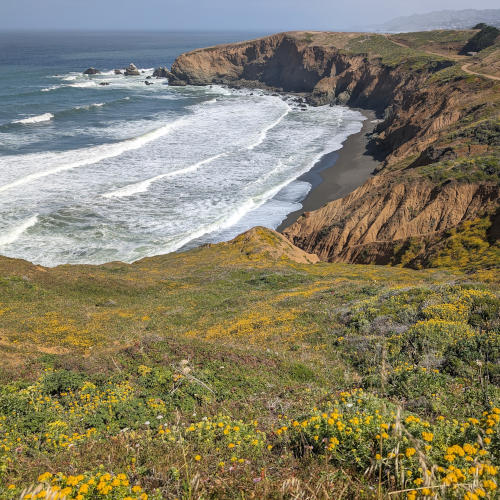
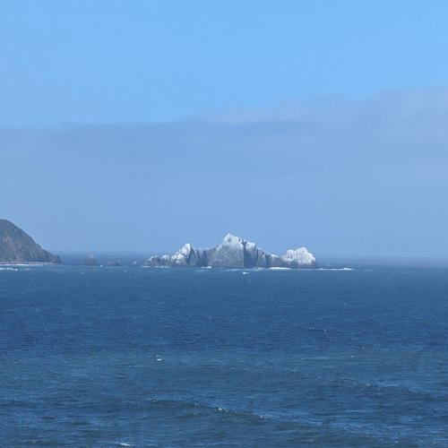
After the Point, we hiked along the coast, somewhere in the middle, we used our hands to climb down a steep hill. Watch out for the loose gravel on this slippery trail! We realized that climbing up is much easier than sliding down. Some hikers suggested to follow the Mori Point Loop Trail clockwise to avoid sliding off the cliff. We will try this insider’s tip next time to complete the loop.
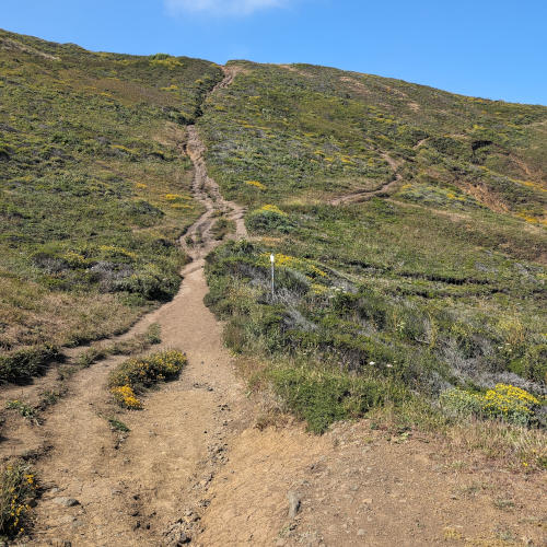
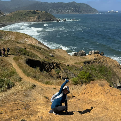
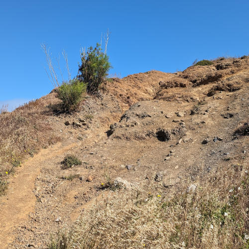
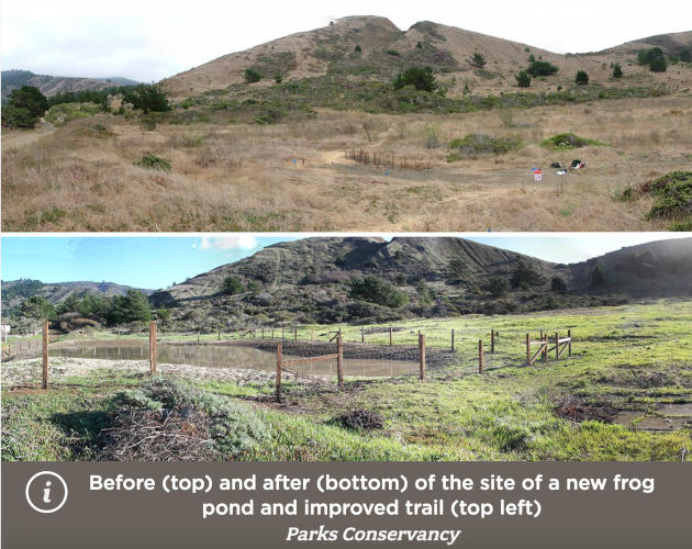
During this hike, we also missed the section of wetlands where red-legged frogs and garter snakes thrive. However, we did take another insider’s tip to have brunch at Perfect Pour Cafe, located a few minutes north near Highway 1, exactly on the way back home. It’s a very cute cafe with friendly staff and yummy treats. What a lovely wrap-up of our cool hike!
Let Us Know
Visiting Mori Point was a very delightful experience for us. Hope you will find time soon to explore its natural beauty and appreciate their restoration effort. Next spring, we will go there again to catch the wildflower superbloom and take a few photos of their local celebrities: red-legged frogs and garter snakes. Meanwhile, enjoy learning more about Mori Point in the links below. Looking forward to hearing your inspiring hiking stories!

Mori Point History
“The land now occupied by Mori Point was purchased by Stefano Mori and his family in 1888, who operated a farm and ranch at the point…” If you love to read, this long version of history tells you the full story.
Events
“Come meet our Roving Ranger and the San Mateo County Library Van at Mori Point to read and learn with each other! The theme for this event is Indigenous knowledge.”

