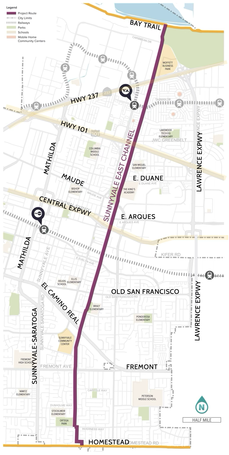
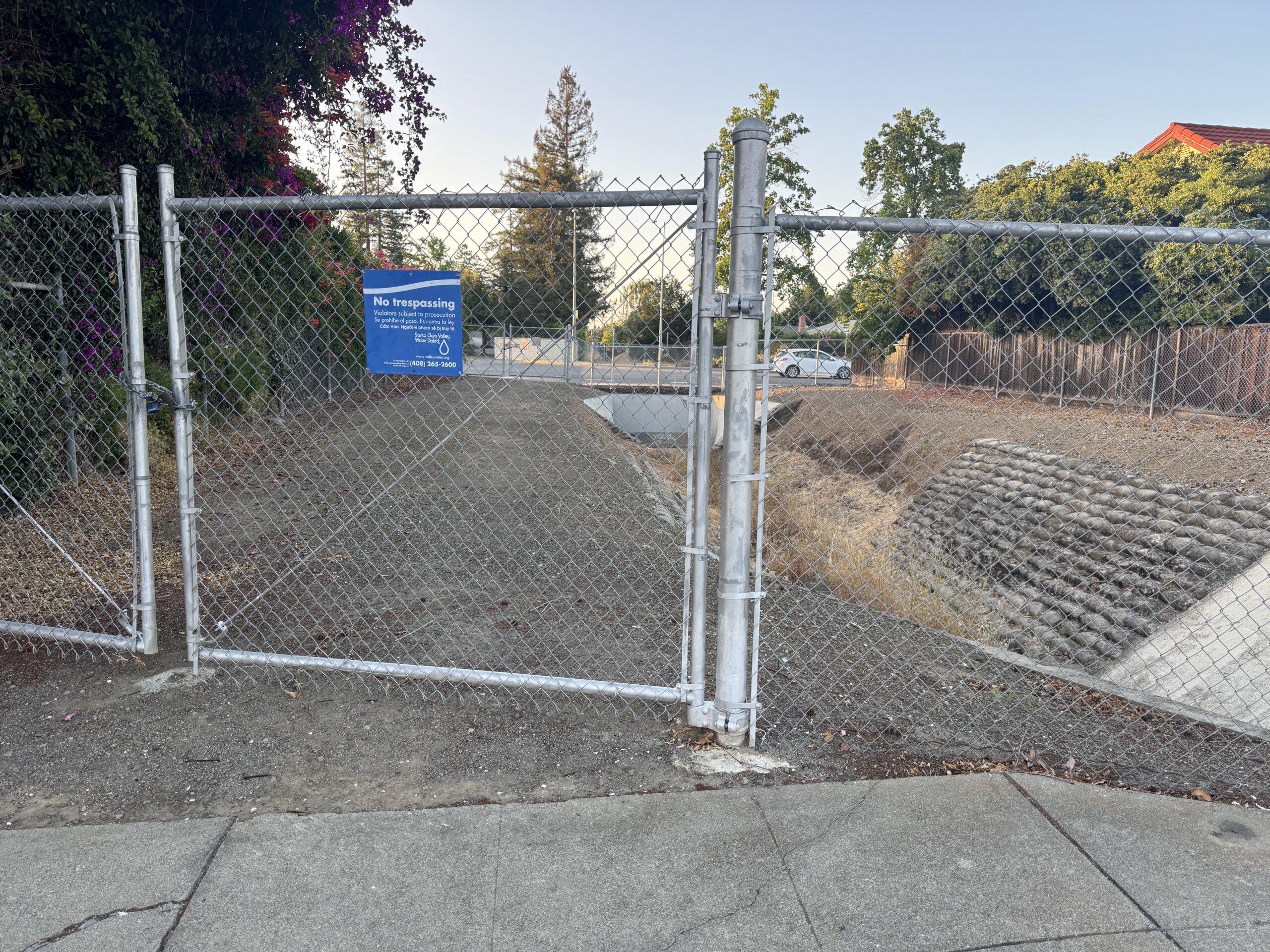
Sunnyvale is in the midst of creating a Feasibility Study for an East Channel Trail — a proposed 5.78 mile long mixed-use trail connecting Homestead Road just north of N. Blaney Ave to the Bay Trail, giving residents and students of Sunnyvale a safer way to commute to work, to school, or to get outside and exercise, all while avoiding heavy traffic.
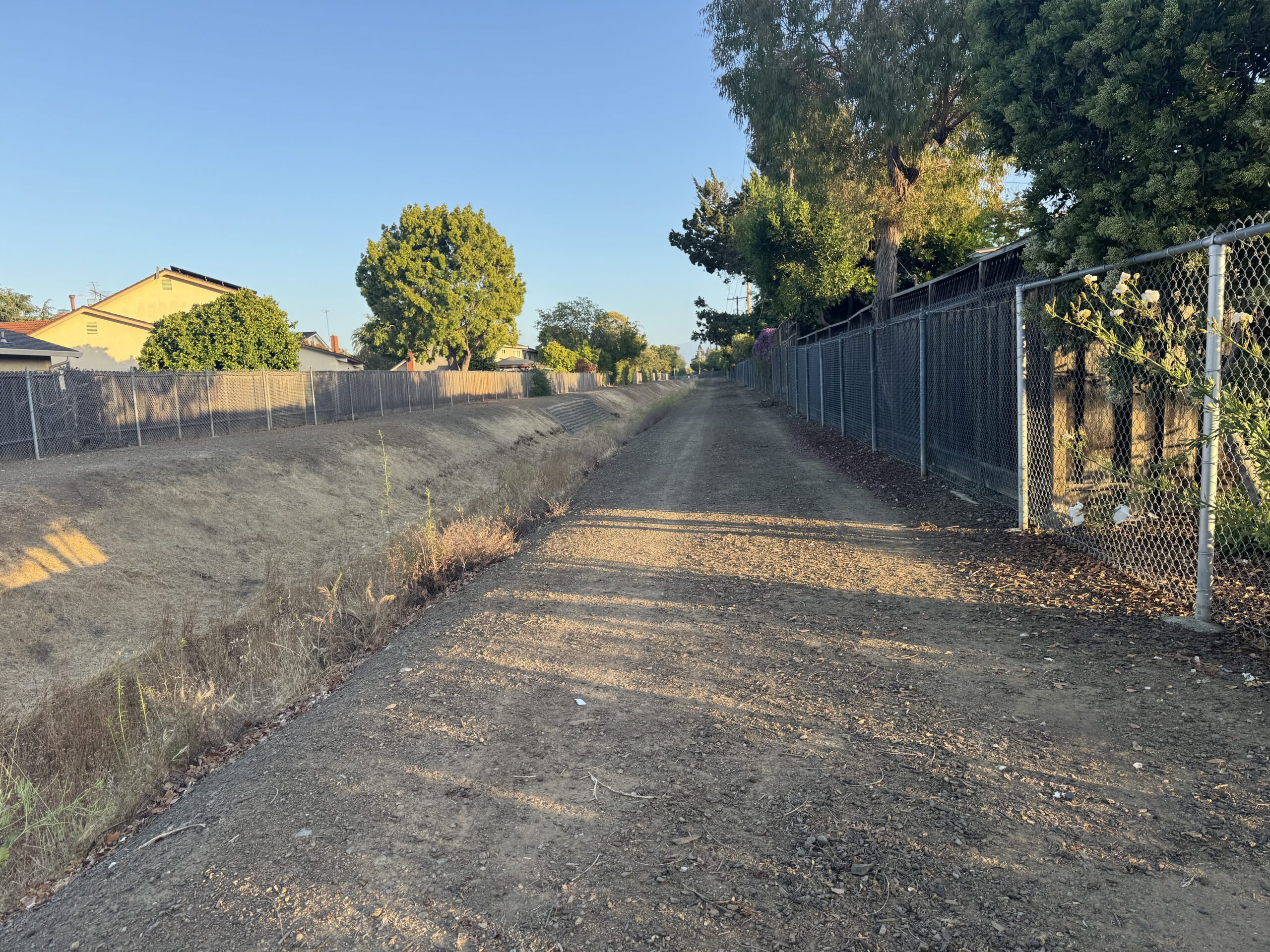
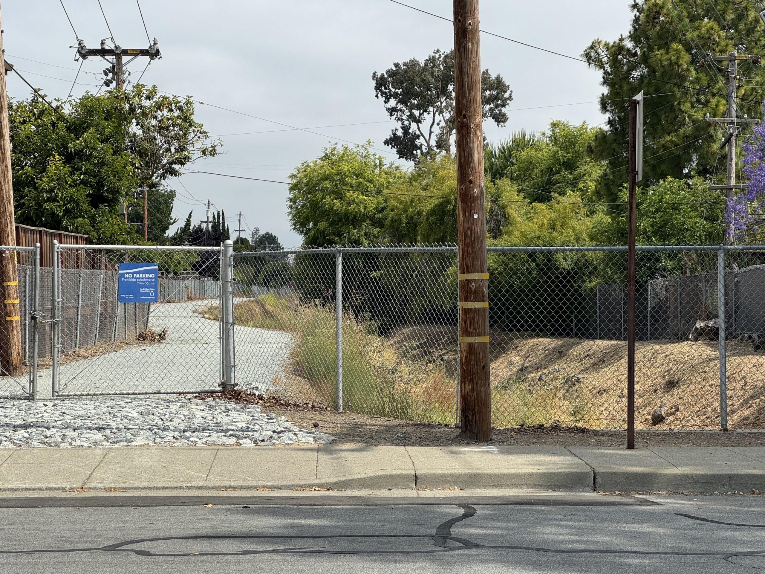
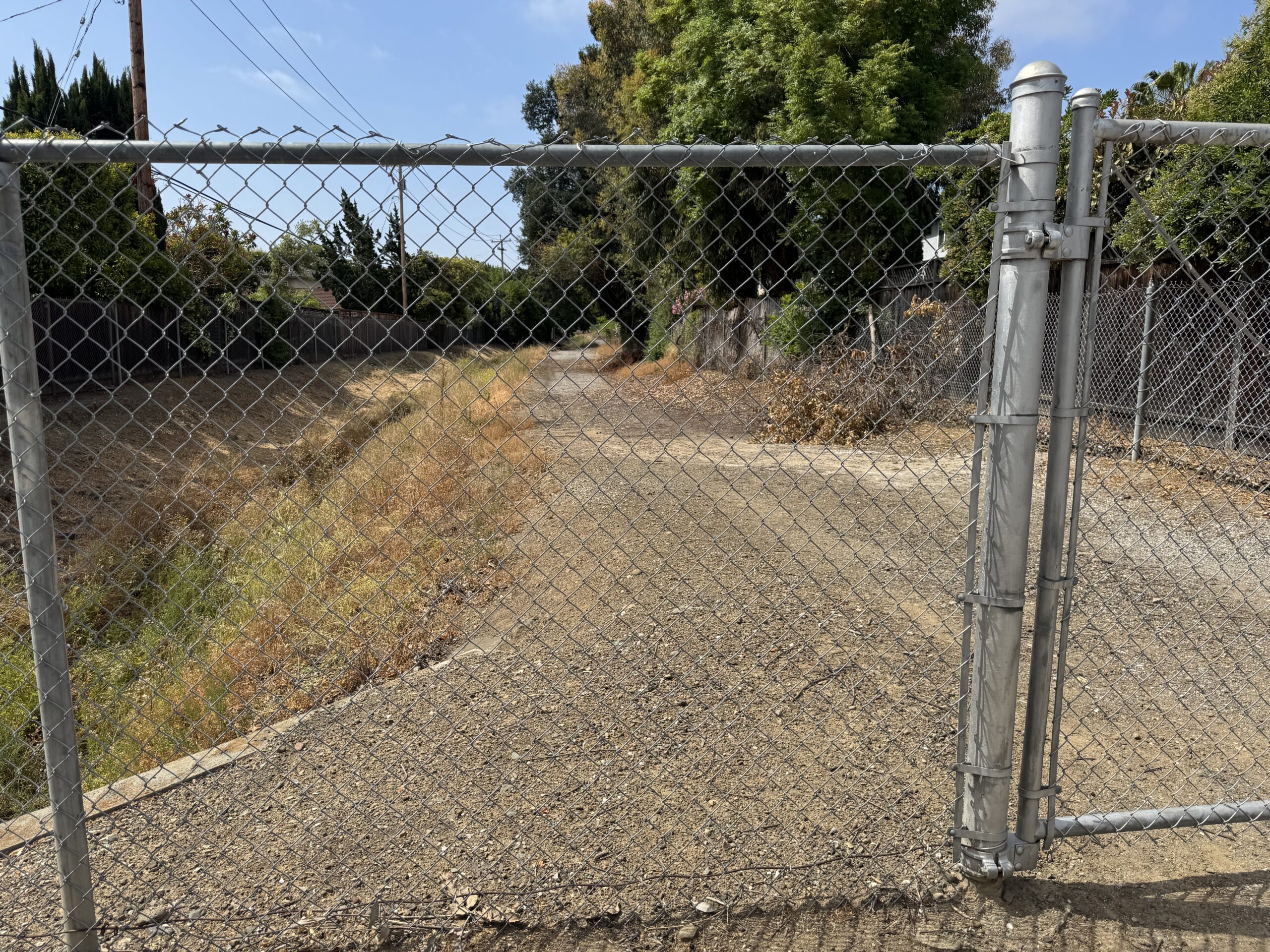
The existing East Channel land is owned by Valley Water and is a maintenance path for the channel, which can handle 50-year floods. Valley Water is currently determining how to upgrade the channel to support 100-Year floods, making this a good opportunity to convert the channel from only a maintenance road to a mixed-use trail.
In 2020, Sunnyvale’s City Council adopted their Active Transportation Plan, which listed street crossings which needed improvement as they are high risk for pedestrians and cyclists. Eighteen of these problematic street crossings are at the east channel, further increasing the impact and value proposition for making this a new trail.
Cupertino residents will benefit, as a new trail in this location will start at the Cupertino border and allow direct trail access from Cupertino all the way to the Sunnyvale Baylands, similar to the Stevens Creek Trail but even more direct and seamless.
Phases of the Feasibility Study
- Phase 1: understand current conditions and community needs
- Phase 2: Create alternatives, determine best concept design
- Phase 3: Develop final concept design and implementation strategy
During each of these phases. there is extensive public outreach and input. Currently, the project is in Phase 2.
Consultant information from Phase 1.
Phase 1
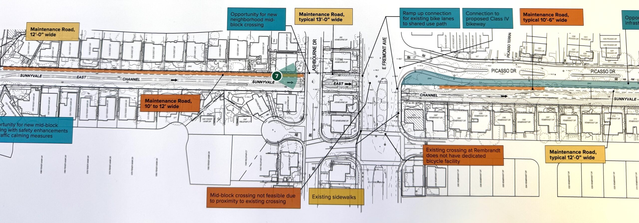
During Phase 1 of the study, the East Channel was surveyed and thorough information was collected about the proposed trail route, including possible trail width, proximity to houses, air space, and street details. The study team also had a number of pop-ups where they collected initial feedback from residents about the trail. All this information was then used in Phase 2.
Phase 2: Crossing Options
In Phase 2, one focus areas was the street crossings for the trail. Community input showed most intesections as acceptable for on-street crossings, but a few critical intersections being marked as candidates for grade separated crossings.
The following were flagged for potential grade separated crossings (a street crossing for cyclists and pedestrians either in a tunnel or on a bridge):
- El Camino Real and Remington Dr
- VTA Tracks by Fair Oaks and Keifer
- Central Expressway
- Highway 101
- Highway 237 / Moffet Park
In all of the above cases, three crossing options were presented, with at least one being on-street and one being grade separated. The initial trail build might start with on-street crossings and then grade separated crossings may be built at a later time.
Phase 2: Trail Features to Improve Use
Three walk-shops were held in June where members of the community walked different parts of the maintenance road and provided feedback.
As a community member, I joined a group that walked along the proposed trail starting at Ortega Park, crossing Dunholme Way, and ending at Carlisle Way.
The first section from Ortega Park to Dunholme was significantly worn down, with many ruts and soil erosion. Still, it showed a lot of potential.
Trail features list
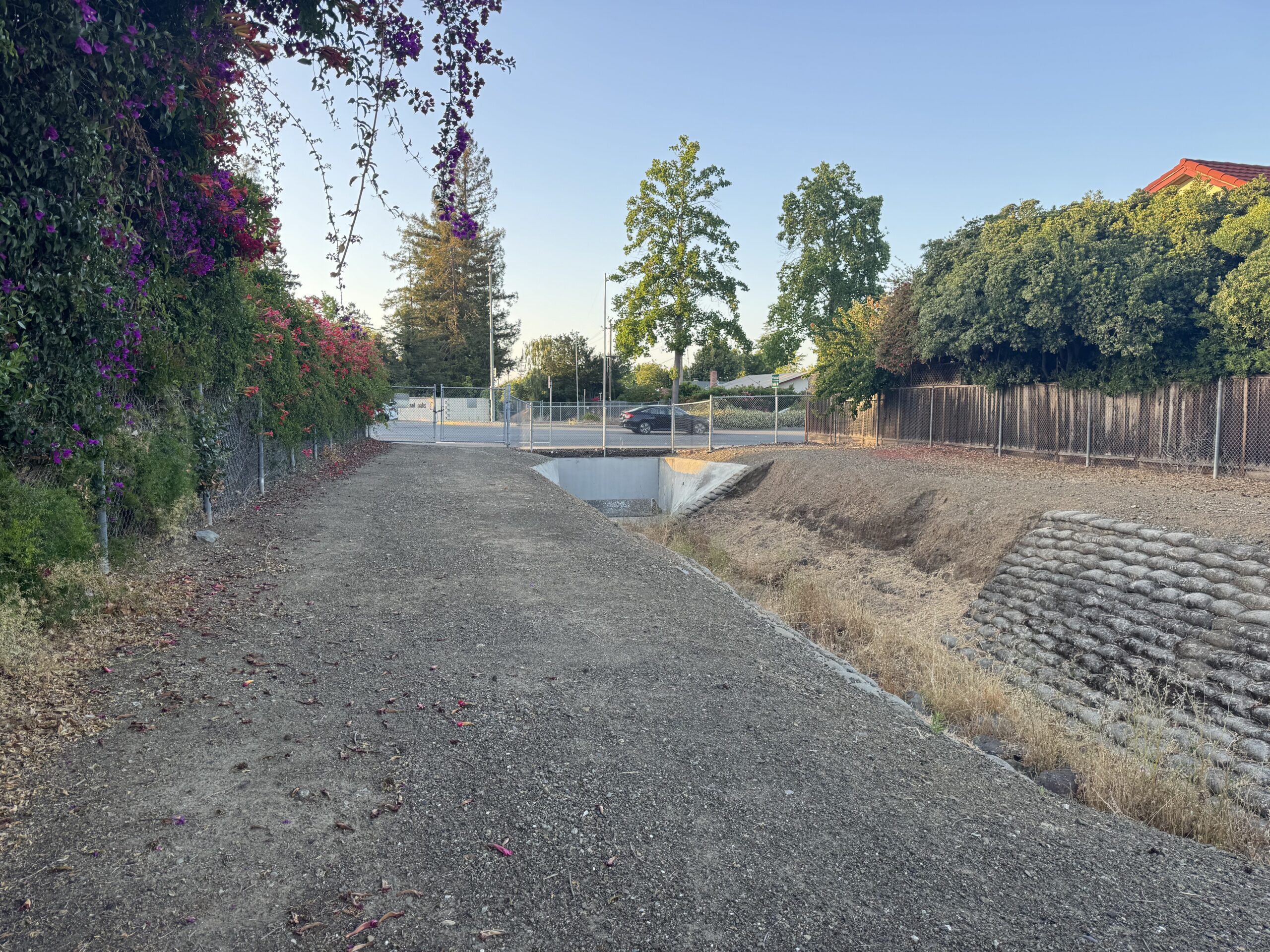
After reaching Dunholme Way, the group continued north. The path from Dunholme to Carlisle was significantly better–so much so that it felt like a trail already. It is wide enough for traffic in both directions, and had a maintained crushed gravel surface with no noticeable erosion issues. It probably could be used today for pedestrians and cyclists.
Throughout the walk, the participants encouraged adding features to the trail project to aid in its functionality (likely not all of these will make the final design):
- Lighting and benches to the trail
- Grade-separated crossings so that cars and trail-users don’t have to mix
- Methods to ensure users are safe when crossing roads including road-diets, daylighting, flags for users to wave, and traffic lights and signs
- Ensuring ADA accessibility
- Surface material that withstands heavy use (such as stabilized gravel like the Regnart Creek Trail, or various forms of permeable pavement)
- Lane markings to delineate north and south-bound traffic
- Safety barriers, such as fencing, to reduce the chance of falls into the channel
Going Forward
The Feasibility Study work is planned to continue until the summer of 2026. The City of Sunnyvale has been doing a great job at driving community engagement in the process of creating another amenity for the residents of the Bay Area.
I’m encouraged to see that they are taking comments from everyone – pedestrians, bicycles, car users, and residents who live along the trail, and look forward to seeing the final concepts. Everyone I talked with who was part of the study team seemed very competent, giving me good confidence that they will come up with a plan that’s beneficial to not only Sunnyvale and its residents, but the surrounding cities like Cupertino.
Further information can be found on the project website, including an emailing list, project schedule, and ways to get engaged. Want to help Walk Bike Cupertino support and advocate for this great project? Drop us a note at info@walkbikecupertino.org.
